
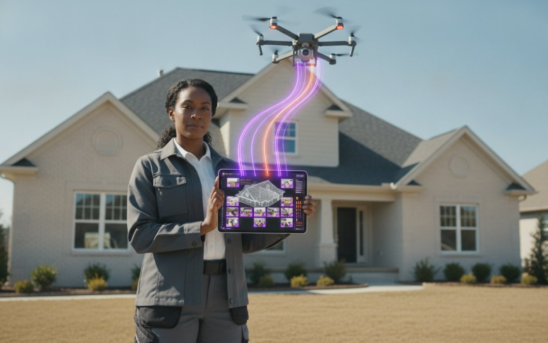
Flying the drone is the easy part, but the real profit is lost in the documentation black hole that follows every flight. You didn’t become a certified pilot to spend your evenings squinting at hundreds of identical shingle photos. In a market where cloud-based deployment now accounts for 63 percent of the industry, manual labeling isn’t just slow; it’s a liability. The right drone roof inspection software should do more than just store images. It must act as a digital partner that organizes, labels, and formats your data while your propellers are still spinning.
You’re likely tired of inconsistent reports getting kicked back by adjusters or struggling to keep your field teams following the same documentation standards. We understand the grind of the modern inspector. This guide shows you how to transform raw aerial imagery into professional, labeled inspection reports in minutes, not hours. You’ll learn how to finish documentation onsite, generate accurate aerial measurements automatically, and use voice-to-text tools to eliminate the post-flight paperwork mountain for good. It’s time to stop chasing photos and start closing files. Let’s turn your drone data into a streamlined revenue engine.
Key Takeaways
- Stop letting hundreds of unlabeled drone photos become a liability. Learn to transform raw aerial data into professional assets while your propellers are still spinning.
- Discover why the right drone roof inspection software is the essential bridge between capturing images and securing fast claim approvals.
- Master the “killer feature” of voice-to-text labeling to document damage indicators instantly without touching a keyboard.
- Maximize your ROI by replacing manual photo organization with automated workflows that allow you to handle higher claim volumes.
- Build a scalable documentation standard using custom templates that ensure every member of your team delivers consistent, rejection-proof reports.
The Documentation Bottleneck: Why Your Drone Needs Professional Reporting Software
Most roofing professionals believe the job ends when the drone lands. It doesn’t. In reality, the flight is just the first ten percent of the process. You’re often left with 200 raw, high-resolution images sitting on an SD card. Without a system, those images are a liability, not an asset. They’re a chaotic pile of digital data that requires hours of manual sorting, labeling, and formatting before an adjuster will even look at them. This is the documentation bottleneck. It kills your hourly rate and stalls your cash flow.
Think of drone roof inspection software as the essential bridge between raw aerial data and an actionable report. While there are countless unmanned aerial vehicle applications in the modern market, roof inspections require a specific, high-velocity workflow. You need a system that follows the three pillars of modern tech: Capture, Organize, and Report. Professional software ensures you don’t suffer from “scope creep” during the review phase. It prevents you from missing critical hail hits or wind-lifted shingles that were hidden in a folder of unlabeled JPGs. It forces order on the chaos.
What is Drone Roof Inspection Software?
Don’t confuse flight control apps with documentation management tools. Flight apps get your drone in the air and follow a path; documentation software handles the data once it’s captured. You need a cloud-based platform capable of storing massive 4K imagery without slowing down your mobile device. More importantly, effective drone roof inspection software must offer automated labeling. You shouldn’t have to type “North Slope Hail Damage” fifty times. The software should know where you are and what you’re looking at, turning raw pixels into professional proof instantly.
The Real Cost of Manual Documentation
Manual reporting is a profit killer. If you spend two hours after every flight uploading photos, matching them to roof facets, and typing out descriptions, you’re losing money. Human error is a massive risk here. It’s too easy to mislabel a photo or lose track of which slope showed the most significant damage. These mistakes lead to rejected claims and frustrated clients. Documentation delays also impact your payment schedule. Every hour you spend at a desk is an hour you aren’t in the field closing new deals. Automated systems allow you to finish the report while the drone is still in the trunk of your truck. Speed wins, and manual labor loses every single time.
From Flight to Finish: Essential Features of Top-Tier Inspection Platforms
The flight is the fun part. The documentation is the work. To maximize your profitability in 2026, you need a workflow that starts while the drone is still in the air. Modern drone roof inspection software must be mobile-first to accommodate the rapid pace of the jobsite. It isn’t just about taking pictures anymore. The industry has evolved, and Drones in construction and real estate are now sophisticated data capture tools that require equally sophisticated back-end management. You need a platform that eliminates the need for an office day. Capture the damage. Label the facets. Generate the report. Do it all before you put the truck in gear. This immediate interaction ensures that no detail is lost and no damage is overlooked during the transition from the roof to the office.
Automated Photo Labeling and Organization
Voice-to-text labeling is the absolute killer feature for roofing professionals. Stop typing on a cracked tablet screen with gloves on. Speak your findings. Tell the software you’re looking at “Hail damage on the south slope chimney flashing,” and let the app do the heavy lifting. This technology uses advanced recognition to categorize photos by roof facet or damage type automatically. It creates “smart folders” that keep your data organized from the moment of capture. This prevents the nightmare of mixing up photos from three different residential streets on the same SD card. If you want to see how this works in the field, explore a photo organization app built for speed. It’s about maintaining a constant forward motion without the friction of manual data entry.
Aerial Measurements and Precision Estimating
Accuracy is the difference between a profitable bid and a costly mistake. Top-tier drone roof inspection software extracts pitch, area, and length directly from your aerial imagery. This isn’t just a gimmick; it’s a precision tool that reduces material waste and improves bid accuracy. These measurements integrate directly into custom report builders, allowing you to present a complete package to the homeowner or adjuster instantly. When you have exact numbers for every ridge, valley, and eave, your credibility skyrockets. You aren’t guessing. You’re proving. This level of detail ensures that your estimates are bulletproof and your material orders are perfect every time. Faster reporting leads to faster approvals. Faster approvals lead to faster checks. It’s that simple. Speed. Accuracy. Profitability.
The ROI of Automation: Why Manual Reporting is Obsolete in 2026
Manual reporting is a silent thief. It steals your time, your focus, and your profit margins. In 2026, the gap between high-volume contractors and those struggling to keep up is defined by their tech stack. While your competitors are still manually dragging files from an SD card into a Word document, you should be closing your next deal. Transitioning to professional drone roof inspection software isn’t just a convenience; it’s a financial necessity. You need to capture data, close files, and collect profit without the administrative drag.
The “Old Way” of manual labeling is a friction-filled relic. It relies on memory, tedious typing, and the hope that you didn’t mix up the East slope with the West. The “New Way” uses automated documentation to capture data in real-time. This shift allows you to handle a higher claim volume without adding headcount. When you eliminate the administrative burden, your revenue per hour spikes. You stop being a data entry clerk and start being a high-value consultant. Professional software also kills “re-work” by ensuring every photo is reviewed and labeled before you leave the site. You’ll never waste gas driving back to a property for a missed shot again.
High-quality reports also command a “Professionalism Premium.” Adjusters and homeowners don’t just want photos; they want clarity. A report that is instantly generated, perfectly labeled, and logically organized wins more bids. It shows you are an expert who values precision. As discussed in Drones Taking Off In Real Estate, the use of drones for physical inspections is fundamentally transforming industry efficiency. Better documentation doesn’t just save time; it builds a brand that adjusters trust and homeowners recommend.
Time Savings Breakdown
Look at the hard numbers. A typical 50-photo report takes roughly 60 minutes to label and organize manually. With automated drone roof inspection software, that same task drops to 5 minutes. The Documentation Dividend is the massive profit you bank by reclaiming those administrative hours for high-value field work. Beyond the money, think about your team. Eliminating soul-crushing manual tasks boosts morale and keeps your best pilots focused on growth instead of paperwork.
Improving Claim Cycle Times
Adjusters are overwhelmed. They prioritize files that are easy to read and impossible to reject. Well-organized, labeled photo reports move to the front of the line every time. Instant report generation can lead to same-day approval for emergency repairs, putting your crew on the roof faster. Every photo is timestamped and GPS-tagged for total insurance compliance. This level of transparency builds immediate trust and accelerates the entire claim cycle. Stop waiting for checks. Start automating your success.
Best Practices for Aerial Documentation and Professional Reporting
Landing the drone is just the midpoint of a successful inspection. To maximize your profitability in 2026, you need a repeatable system that eliminates guesswork and prevents data loss. High-velocity documentation requires a structured protocol that ensures every pixel of data is accounted for. By implementing a standardized approach, you transform your drone roof inspection software from a simple storage tool into a powerful production engine. Follow these four steps to clean up your field operations immediately.
- Step 1: Build your templates. Set up custom inspection templates before you even arrive at the jobsite. This ensures you follow a consistent photo path every time.
- Step 2: Speak your findings. Use voice-to-text labeling to identify damage indicators while you review photos on your tablet. Don’t wait until you’re back at the office to remember what you saw.
- Step 3: Verify your data. Cross-reference your aerial measurements with ground-level observations. High-resolution imagery provides the area and pitch, but your expert eye confirms the story.
- Step 4: Sync and collaborate. Upload your photos to a centralized dashboard instantly. This allows your desk adjusters or project managers to begin their review while you’re still on-site.
Utilizing Custom Inspection Templates
Carrier requirements change. Your documentation should adapt instantly. Build templates that match specific carrier or client needs to ensure your reports are never rejected for missing data. Standardized photo paths act as a digital checklist. They guide your pilots through every facet, valley, and ridge, ensuring total coverage. This system allows even your newest team members to produce expert-level reports that meet the highest industry standards. When the process is automated, the quality remains consistent across every job. To start building your own standardized workflows, download the PHOTO iD app and see how easy documentation can be.
Integrating with Industry Standards
Your documentation is only as good as its ability to be used for estimating. Professional drone roof inspection software should allow for seamless exports that integrate with industry-standard estimating platforms. This eliminates the need for double-entry and reduces the risk of clerical errors during the scope-writing phase. Always follow IICRC standards for property documentation to maintain your professional standing. If you encounter a complex claim, use virtual inspection features to bring in a remote expert for a second opinion in real-time. This collaborative approach ensures accuracy, builds trust with adjusters, and keeps your projects moving toward a final check. Standardize, simplify, and succeed. It’s the only way to operate in the modern roofing landscape.
PHOTO iD: The Ultimate Partner for Drone Documentation
PHOTO iD isn’t just another digital folder. It’s drone roof inspection software built by industry veterans who’ve spent decades in the trenches. Founded by Ken Perry, also known as The Claims Coach, this platform was forged in the fire of real-world property assessments. It doesn’t just store your data; it masters it. While generic photo apps leave you drowning in unlabeled files, this tool restores total order to your documentation process. It turns your smartphone into a professional inspection camera and a high-velocity reporting hub. Stop fighting with your technology and start using a partner that understands the grind of the jobsite.
The primary differentiator is our Voice-to-Text Labeling. This is the killer feature that drone pros have been waiting for. Instead of fumbling with a keyboard in the wind or squinting at a screen in the sun, you simply speak your findings. The software transcribes your notes directly onto the photo in real-time. It’s fast. It’s accurate. It’s efficient! This allows you to categorize damage and organize slopes without ever slowing down. You maintain a constant forward motion from the first flight to the final file closure.
Built for the Speed of the Field
We know the field doesn’t wait for anyone. Our app is designed for the mobile professional who needs results now, not next Tuesday. There is zero technical training required for your crews. They can pick up the app and start producing expert-level documentation on their very first flight. The Instant Photo Report Generation feature is a total game-changer for your workflow. You can deliver a professional, branded report to a client or adjuster before you even leave the driveway. Capture the data, generate the report, and move to the next lead. It’s that simple!
Empowering Teams and Scaling Operations
Order from chaos isn’t just a slogan; it’s our mission. For managers, the Team Management Dashboard provides a bird’s-eye view of every active jobsite. You can monitor field operations in real-time, ensuring that every team member follows your specific documentation standards. This level of oversight is critical for firms scaling their operations during high-volume storm response. When you deploy drone roof inspection software across a large team, consistency is everything. PHOTO iD ensures that every pilot, regardless of experience, delivers the same high-quality output. You can handle more claims, manage more pilots, and collect more revenue without losing control of the details. Don’t let documentation chaos hold your business back. Streamline your drone inspections with PHOTO iD today!
Take Control of Your Inspection Workflow Today
The future of roofing isn’t just about flying drones; it’s about mastering the data they capture. You’ve seen how the right drone roof inspection software eliminates the documentation bottleneck and restores order to your workday. By moving from manual labeling to automated organization, you reclaim hours of administrative time and boost your revenue per claim. Precision measurements and standardized templates ensure your reports are bulletproof every time. Don’t let photo chaos stall your growth or frustrate your adjusters.
Founded by industry veteran Ken “The Claims Coach” Perry, PHOTO iD is the trusted partner for top adjusters and roofing pros nationwide. Our automated voice-to-text labeling technology is designed to handle the high-velocity demands of the field. It’s time to stop squinting at screens and start closing files. Start your free trial of PHOTO iD and stop manual labeling today! You have the tools, the talent, and now the technology to dominate your market. Get back to the field and let us handle the paperwork!
Frequently Asked Questions
Does drone roof inspection software replace the need for an inspector?
No, drone roof inspection software acts as a force multiplier for your expertise, not a replacement. It functions as a digital partner that automates the mechanical tasks of organization and labeling so you can focus on high-level damage assessment. You remain the expert in the field; the software simply provides the structured, professional proof required to secure fast approvals and maintain documentation standards.
Can I use PHOTO iD with any drone model?
Yes, PHOTO iD is hardware-agnostic and works with any drone model in your fleet. Because our platform focuses on documentation and reporting rather than flight telemetry, it is compatible with DJI, Autel, Skydio, and other major manufacturers. Simply capture your imagery using your preferred drone and then use our mobile app to transform those raw files into a professional, labeled report instantly.
How does voice-to-text labeling handle background noise like wind or traffic?
Our voice-to-text technology is engineered specifically for the loud, unpredictable environments of a jobsite. The system uses advanced noise-suppression algorithms to isolate your voice while filtering out interference from heavy wind, nearby traffic, or running machinery. This ensures that your descriptions are captured clearly and accurately, allowing you to document findings without ever taking your hands off the flight controller.
Is the aerial measurement feature accurate enough for insurance claims?
Yes, the aerial measurement feature provides precision data for pitch, area, and length that meets the strict requirements of insurance carriers. By extracting these dimensions directly from your high-resolution drone imagery, the software eliminates the risks associated with manual tape measurements or ladder-based assessments. This level of accuracy ensures your material orders are perfect and your estimates are bulletproof.
Can I export my labeled photos directly into my estimating software?
You can absolutely export your labeled photos and documentation for use in major industry-standard estimating platforms. Our software is designed to serve as a bridge between field data capture and office-side scope writing. This integration eliminates the need for manual photo uploads and double-entry, significantly reducing clerical errors and accelerating the overall claim approval timeline.
How does the software handle large batches of high-resolution drone photos?
Our cloud-based infrastructure is built to process massive batches of 4K drone imagery without slowing down your mobile device. The software uses intelligent organization to sort hundreds of photos into the correct folders based on your pre-set templates. This high-velocity processing ensures that even the most complex commercial inspections are organized and ready for review in a matter of minutes.
What happens if I lose internet connection while in the field?
The app features a robust offline mode that ensures your work is never lost due to poor cell service. If you lose your connection, the software saves all photos, voice labels, and data locally on your device. Once you’re back in range of a stable signal, the app automatically syncs everything to your centralized dashboard, maintaining a seamless workflow regardless of site conditions.
Is there a limit to the number of photos I can include in a single report?
We do not impose restrictive limits on photo counts because we understand that thorough documentation is the key to getting claims paid. Whether you are performing a quick residential check or an extensive commercial multi-building inspection, the software scales to meet your needs. You can include as many photos as necessary to provide total transparency and satisfy the most demanding carrier requirements.